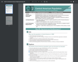
Evaluate population increase in Central America over the past two decades using …
Evaluate population increase in Central America over the past two decades using a geographic information system. Students manipulate map layers and interpret thematic maps to answer questions about how the Central American population has changed. Teachers must modify the pdf for classroom use because the answers are not provide separate from the questions.
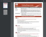
Explore the ethnic diversity of U.S. states and neighborhoods. Book: The House …
Explore the ethnic diversity of U.S. states and neighborhoods. Book: The House on Mango Street by Sandra Cisneros. *Students will explain how scale (the granularity of information) changes our understanding of a place. *Students will identify how the ethnically diverse neighborhoods of suburban Chicago influenced Cisneros’ childhood and her writing.
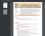
Explore the factors leading to the independence movement of Latin American colonies. …
Explore the factors leading to the independence movement of Latin American colonies. Students will manipulate thematic layers using a geographic information system. Teachers must transfer the questions and instructions to a new document because the answers are included on the pdf linked here.
No restrictions on your remixing, redistributing, or making derivative works. Give credit to the author, as required.
Your remixing, redistributing, or making derivatives works comes with some restrictions, including how it is shared.
Your redistributing comes with some restrictions. Do not remix or make derivative works.
Most restrictive license type. Prohibits most uses, sharing, and any changes.
Copyrighted materials, available under Fair Use and the TEACH Act for US-based educators, or other custom arrangements. Go to the resource provider to see their individual restrictions.